California Climate and Hydrology
Change Graphs

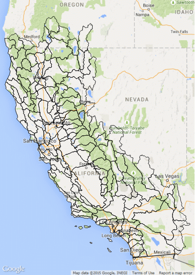
Historical and projected future values for that basin and the chosen data variable are plotted on the same graph. The four future climate scenarios were selected to demonstrate a range of precipitation and temperatures projected by the 18 scenarios available from the BCM; they are: MIROC-esm RCP 8.5 (warmest, driest), CRNM RCP 8.5 (wettest and warm), CCSM4 RCP 8.5 (mid-range, closest to ensemble mean), and GFDL A2 (a moderately warmer, drier future).
Click on the legends below the graphs to hide/show particular lines in the future climate scenarios graphs (draw button click not needed for this)
See also this documentation for the graphs and data behind them.
Questions? Contact the Commons Team.