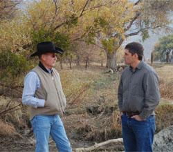
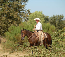
Why Rangelands: The Central Valley of California, the surrounding foothills and the interior Coast Range include over 18 million acres of grassland. Most of this land is privately owned and managed for livestock production. Because grasslands are found in some of California's fastest-growing counties, they are severely threatened by land conversion and development. In addition climate change stresses grasslands by potentially changing water availability and species distributions.
Maintaining a ranching landscape can greatly support biodiversity conservation in the California Landscape Conservation Cooperative (LCC) region. In addition ranches generate multiple ecosystem services—defined as human benefits provided by natural ecosystems—that carry considerable economic value, including livestock production, drinking and irrigation water, and carbon sequestration.
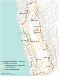
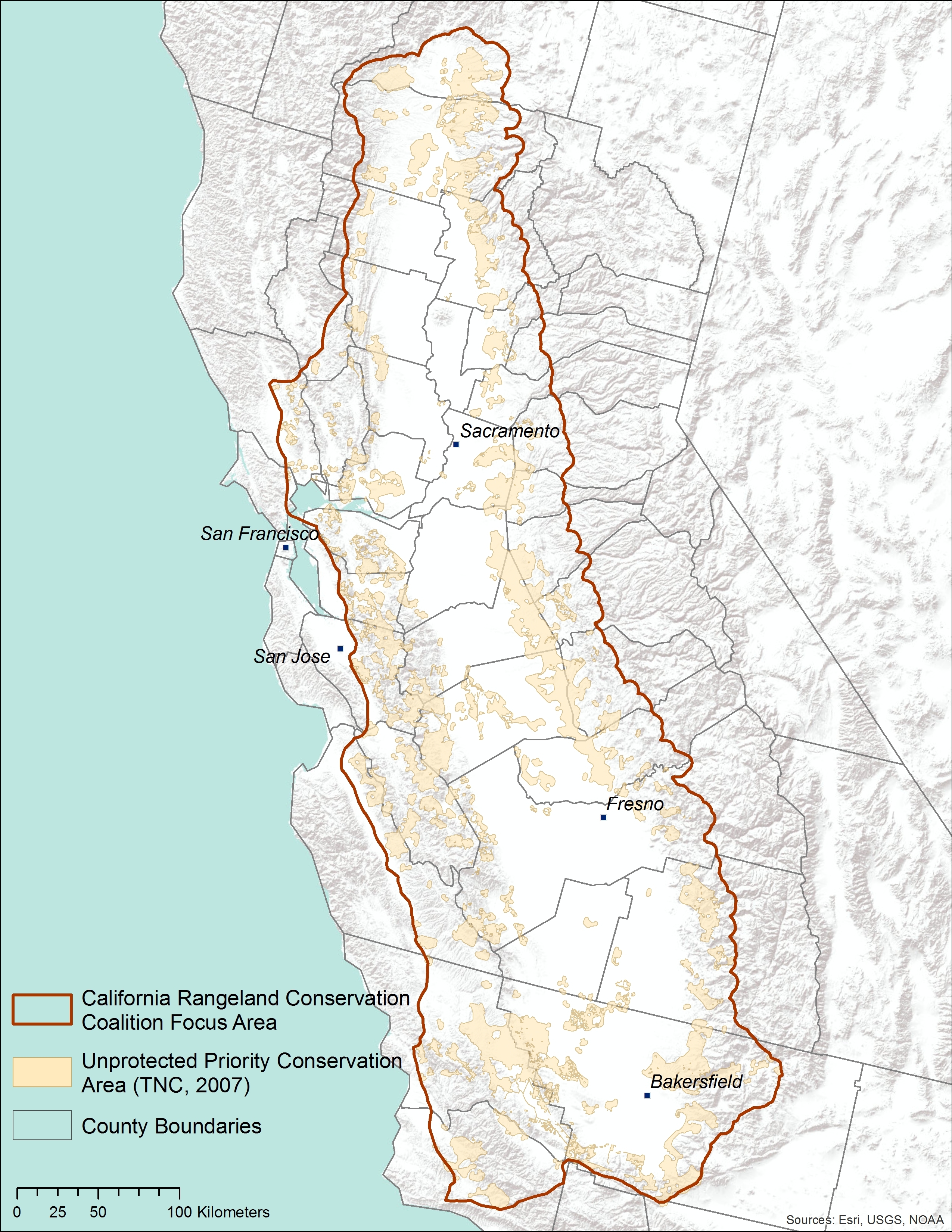
The Threat Assessment: We developed six scenarios organized around our management question: How can we maintain viable ranchland and their ecosystem services in light of future integrated threats? The scenarios represent alternative futures of climate/land use/hydrological change for the California Rangeland Conservation Coalition (Rangeland Coalition) focus area (the foothills around the Central Valley and most of the southern Inner Coast Range) (Figure 1). Detailed description of the scenarios is found here.
We used these scenarios to quantify and map three main rangeland ecosystem services—wildlife habitat, water supply, and carbon sequestration. This website provides a visualization tool to view changes in these ecosystem services across scenarios and years. The tool includes the following maps:
Applications: Target audiences of this assessment include ranchers, land managers, conservation organizations, planners and decision makers. The project will 1) help local planners minimize impacts to rangeland ecosystem services, 2) help federal and state agencies design effective conservation plans that incorporate climate change and land use change impacts, 3) help water agencies assess potential changes to water supply; 4) help conservation organizations prioritize their actions and 5) help watershed groups in their planning efforts. Overall the project highlights and quantifies the value of privately-owned rangelands in the Central Valley as providers of ecosystem services and evaluates the costs and benefits of conserving them.
Scenario Development
A scenario is not a prediction. Instead it represents a plausible account of the future given logical assumptions about how conditions change over space and time. Instead of trying to predict a single outcome, planners use scenarios to consider a variety of possible futures that include many important uncertainties. Scenario planning is most useful in cases such as long term planning for the California LCC region, where uncertainty is high and the ability to control the system is low.